
How to choose a 3D scanner for mining
Every choice on this page comes down to two questions: how far away is the thing you have to measure, and how fine is the detail that decides the job. A stope from the drawpoint and a crusher mantle on a pallet are both mining, and no single instrument does both well.
Five topics below: four comparisons between methods, and the page on what accuracy means.
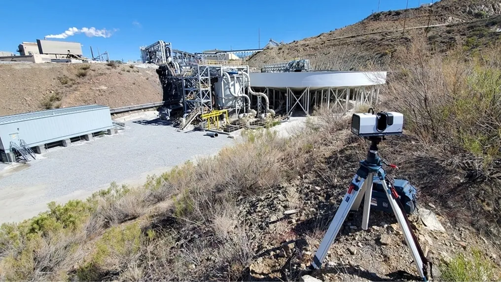
 Range against detailThe one trade every choice turns on: 130 m at millimetres, or arm’s length at a tenth.
 Still or movingA tripod measures where it stands; a SLAM scanner measures wherever it is taken.
 A figure with a distance“High accuracy” is not a number until a range is attached to it.
 Into your packageWhatever you choose has to land in Vulcan, Deswik, Surpac or Leapfrog as LAS, LAZ or E57.
Comparisons and figures
Method against method, on the criteria a survey manager actually decides by.
Why the comparison is never device against device
Scanner brochures compare specifications, and specifications compare badly across methods. A total station is more accurate per point than any scanner; a photogrammetry drone covers more ground per hour than any tripod; a cavity monitoring boom is cheaper than a scanner and a drone. Each of those statements is true and none of them decides anything, because the job is not to take a point, cover ground or measure a stope — it is to reconcile the stope, sign off the wall, order the liner, on a schedule, without sending anyone where they should not be.
So the comparisons here are on the criteria that decide the job: what is actually recorded, how long it takes on site, who can operate it, what it costs to be wrong, and whether the result lands in the package the mine plans in. On those criteria the answer is usually not one method but a pair — a tripod scanner and a SLAM scanner, a SLAM scanner and a handheld — and each comparison says where the other method still wins.
Measured, not asserted
What each method is actually for
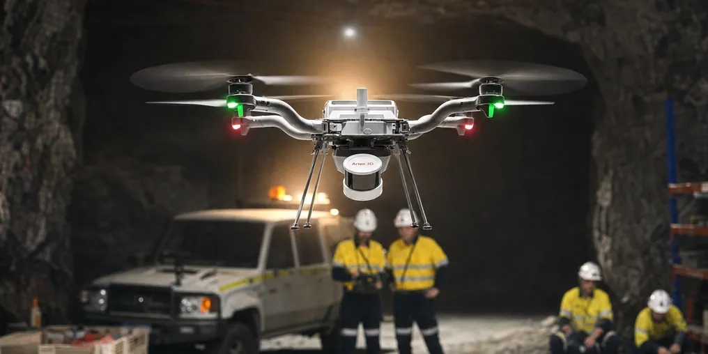

Tripod laser scanner: The whole surface at survey-grade from a safe distance: walls, stockpiles, plant, machines.

SLAM LiDAR: Coverage on the move, without GPS: headings, roads, and every void a drone or a cage can reach.

Handheld structured light: A tenth of a millimetre at arm’s length: liners, mantles, parts and mounting points.

Total station: Control, and the single point that has to be survey-grade to the millimetre — still the right tool for both.
See the three methods on one site in an afternoon — a wall from a tripod, a drive on the walk, a part at arm’s length — and where each earns its place — book a demo for your survey manager.
Book a demoQuestions that come up before the first job
Which single scanner should a mine buy first?
The one that removes the most exposure or the most waiting. Underground that is usually the SLAM scanner, because it surveys headings at walking pace and enters stopes. On surface and in the plant it is usually the tripod scanner, because its volumes are invoiced and its walls are signed off. Most operations end up with both.
Do we still need a total station?
Yes, for control. Every scanner survey is tied to mine grid through stations a total station established, and a single point that has to be right to the millimetre — a shaft centre, a hoist alignment — is still its job. What it stops doing is picking up whole surfaces point by point.
Is photogrammetry not good enough?
On surface, in daylight, on textured ground, drone photogrammetry covers a pit fast and well. It struggles on steep shadowed faces, bare dark rock and anywhere without light or GPS — which is the pit wall and the whole of underground. The comparison page here works through where each wins.
What does the accuracy figure actually mean?
A distance error at a stated range: Ray II 1.9 mm at 10 m and 5.3 mm at 40 m, Jet ±10 mm underground on the move, Leo 0.1 mm at 0.35–1.2 m. Without the range the figure is meaningless, and the accuracy page here explains why.
How quickly can our own crew run any of these?
Days. Element’s scanning engineer worked independently after two days of supervised practice; Weldco-Beales found the onboard screen removed most of the learning curve. A SLAM scanner has no set-up sequence to learn at all.
Does the choice change what software we need?
No. Artec Twins handles Jet and Ray II data and Artec Studio handles Leo; both export LAS, LAZ, E57 and standard meshes into Maptek Vulcan, Deswik, Micromine, GEOVIA Surpac and Leapfrog. Whatever you choose, the planning package stays the one you have.
Other areas of mine surveying
Tell us what you are choosing between
Describe the jobs the scanner has to do, how they are measured today and what has to improve. A mining specialist will come back with a recommendation and the figures behind it, at the ranges you actually work at.