
Mine digital twins and as-built 3D mapping
A mine has a design model and a survey record, and neither is the mine. The design is what was planned; the survey is a wireframe of the points somebody shot. The mine itself — the drive as it was actually mined, the stope as it actually broke, the plant as it was actually modified — exists nowhere but underground.
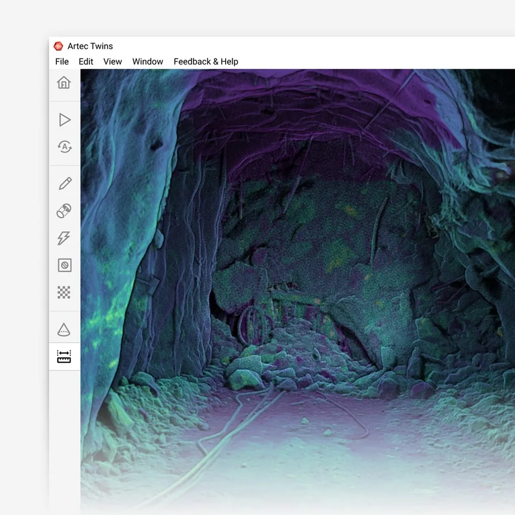
A digital twin built from scans is the mine as it is: every excavation as a measured surface, updated each time it is scanned, on mine grid, in the planning package — for scheduling, ventilation, ground control, rescue and the record that outlives the operation.
What is a mine digital twin, and how is it built?
A measured model of the mine as it is — every excavation as scanned at ±10 mm or better — registered on mine grid, updated with each survey, exported to the plan.
 The mine as minedMeasured surfaces, not design solids or survey wireframes.
 Updated each surveyEvery heading pick-up and stope scan joins the model as it is taken.
 One coordinate systemUnderground and surface, plant and pit, on mine grid together.
 Where the plan livesLAS, LAZ and E57 into Vulcan, Deswik, Surpac or Leapfrog, and meshes into CAD.
Why the mine model is not the mine
The models a mine runs on are approximations from opposite directions. The design model is what the planners intended: drives on their designed profile, stopes as designed solids, benches at design crest and toe. The survey record is what the surveyor could measure: face positions, a few profile shots, a stope estimated from a boom. Between the two is the mine as it actually is, and every team — planning, ventilation, geotechnical, rescue — works from one approximation or the other because the real thing has never been recorded whole.
The gaps have costs that show up elsewhere. A ventilation model built on design profiles predicts airflows the mine does not have. A rescue plan drawn on a wireframe does not know the refuge chamber was moved. A pillar is dimensioned against a stope that broke wider than its design. A plant modification is designed against a drawing from commissioning. Each is a decision made against a model that was never the mine.
Scanning records the mine itself. Artec Jet picks up every heading as it is walked and every stope from its access at ±10 mm; Artec Ray II records pit walls, plant and structures at 1.9 mm at 10 m from a tripod; Artec Leo adds component detail at 0.1 mm. Artec Twins registers all of it on mine grid into one current model — the digital twin — that grows with every survey, compares each epoch with the last at ±5 mm, and exports as LAS, LAZ or E57 into Vulcan, Deswik, Surpac or Leapfrog. The design and the survey record remain; the twin is the third model, the one that is the mine.
From surveys to a living model
The twin is not a project; it is what the routine surveys accumulate into.
- 1. Scan as part of the routineHeadings on the walk, stopes from the drawpoint, pit walls from a tripod, plant in the shutdown — the surveys already being taken.
- 2. Register on mine gridTwins ties every capture to survey control and GNSS, underground and surface in one coordinate system.
- 3. Merge into the twinEach new capture replaces the older surface where it overlaps; the model is always the latest survey everywhere.
 4. Compare epochsThe previous surface is kept, so change — convergence, wear, slope movement — is a comparison at ±5 mm.
- 5. Serve every teamLAS, LAZ, E57 and meshes into planning, ventilation, geotechnical, rescue and engineering packages.
Which scanner for this work
A twin of a whole mine needs coverage, survey-grade and detail; three scanners feed one model.
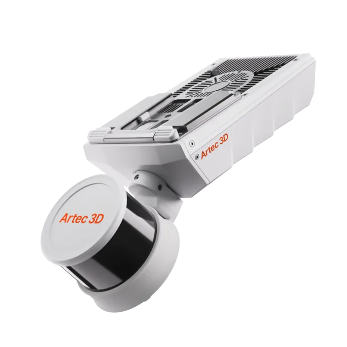
Artec Jet
- Best for
- Underground excavations and surface areas — the coverage of the twin
- Type
- Multi-modal SLAM LiDAR
- Accuracy, up to
- ±10 mm underground, ±15 mm general
- Change detection
- ±5 mm
- Range
- 0.5–300 m
- Positional drift
- ±0.03%
- Deployment
- Handheld, backpack, pole, drone, vehicle, cage, robot
Jet records headings at walking pace, stopes from a drone, and pits and roads from a vehicle, all at ±10–15 mm and with no GPS needed for positioning. Sixteen hours of onboard capture and 1.57 kg make it the scanner that is everywhere the mine is, which is what a twin needs.
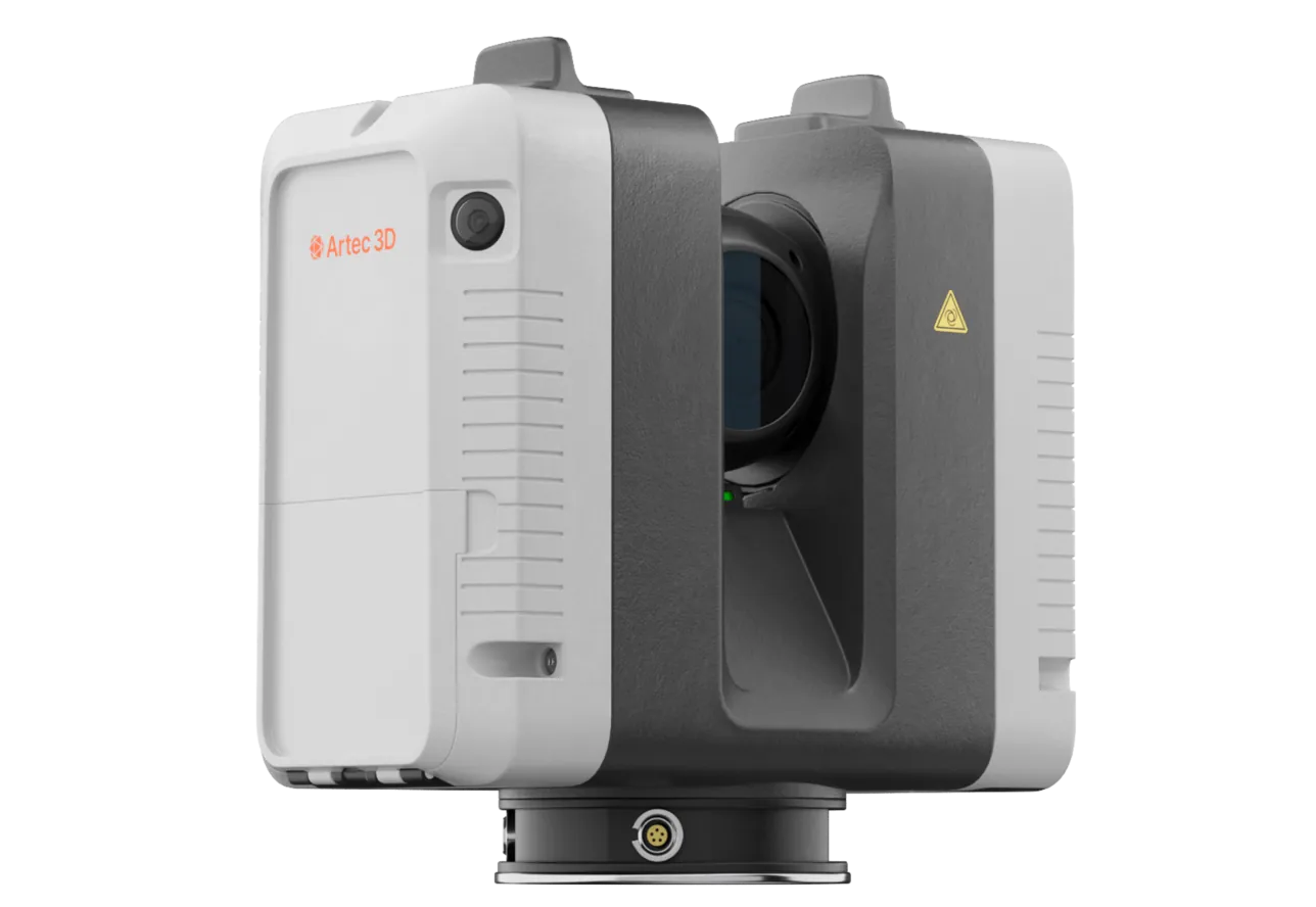
Artec Ray II
- Best for
- Pit walls, plant, structures and stockpiles at survey-grade
- Type
- Stationary long-range laser, tripod mounted
- Accuracy, up to
- 1.9 mm at 10 m, 2.9 mm at 20 m, 5.3 mm at 40 m
- Range noise
- 0.4 mm at 10 m
- Range
- 0.5–130 m
- Scan time
- 1 min 42 s at 3 mm, 10 m, without texture
- Field of view
- 360° × 300°
Ray II records the surfaces whose figures are signed off or invoiced at 1.9 mm at 10 m from a tripod, out to 130 m. In the twin these are the reference surfaces the rest registers against.
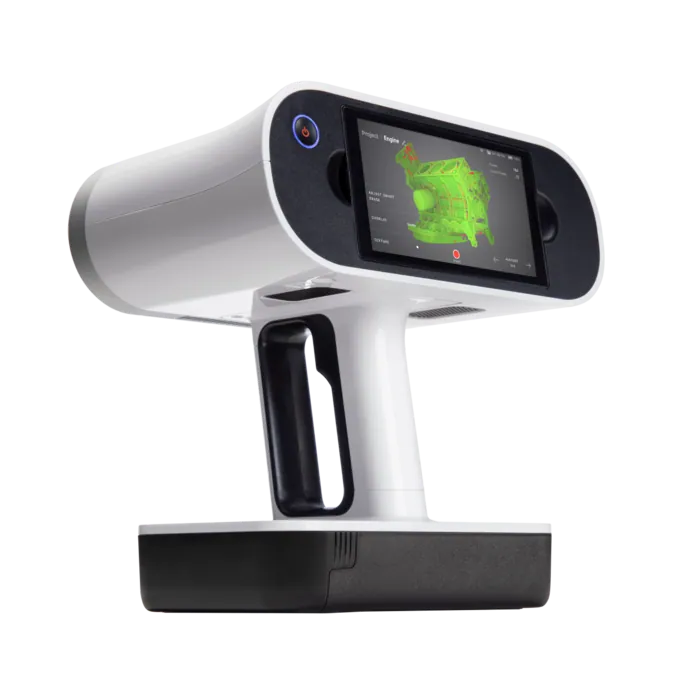
Artec Leo
- Best for
- Components in the plant and on equipment at 0.1 mm
- Type
- Wireless handheld structured light, all-in-one
- 3D point accuracy, up to
- 0.1 mm
- 3D resolution, up to
- 0.2 mm
- Working distance
- 0.35–1.2 m
- Capture speed
- Up to 35,000,000 points/s in HD Mode
- Onboard
- 5.5″ touchscreen, processing and 512 GB — no laptop
Leo adds the detail scale — liners, mantles, mounting points — at 0.1 mm, handheld and wireless. Registered into the plant as-built, it makes the twin useful to the maintenance and engineering teams as well as to survey.
See a level, its stopes and the plant above them in one current model on mine grid, opened in your planning package — book a demo for your technical services manager.
Book a demoQuestions technical services managers ask
How is this different from our mine planning model?
The planning model holds design solids and survey wireframes; the twin holds measured surfaces of the mine as it is. The twin exports into the planning package, so both live in the same software — one is what was intended, the other is what exists.
How current is the twin?
As current as the last survey of each area. Because headings are picked up on the walk and stopes from the drawpoint, active areas are days old; inactive areas keep their last capture until they are visited again.
Which teams use it?
Planning and scheduling for progress and reconciliation, ventilation for actual airway sections, geotechnical for convergence and slope change, rescue for current refuge and escape-way geometry, engineering for plant as-builts. Each reads the same model in its own package.
What formats and software?
Artec Twins exports LAS, LAZ and E57 point clouds and standard meshes. Maptek Vulcan, Deswik, Micromine, GEOVIA Surpac and Leapfrog read them directly; Artec Studio exports meshes for CAD on the plant side.
Related applications
Tell us about the models your mine runs on
Describe the operation, the planning package and which teams work from which model today. A mining specialist will come back with how a twin would be built from your routine surveys and what each team would get from it.