
Mobile LiDAR for mining
A tripod scanner measures where it is set up. A mobile scanner measures wherever it is taken — carried down a heading, worn on a back through a plant, mounted on the vehicle that drives the pit every shift — and the survey takes as long as the journey.
Positioned by SLAM at ±0.03% drift, the moving scanner records ±10 mm underground and ±15 mm on surface, and a survey that was a sequence of set-ups becomes a walk or a drive.
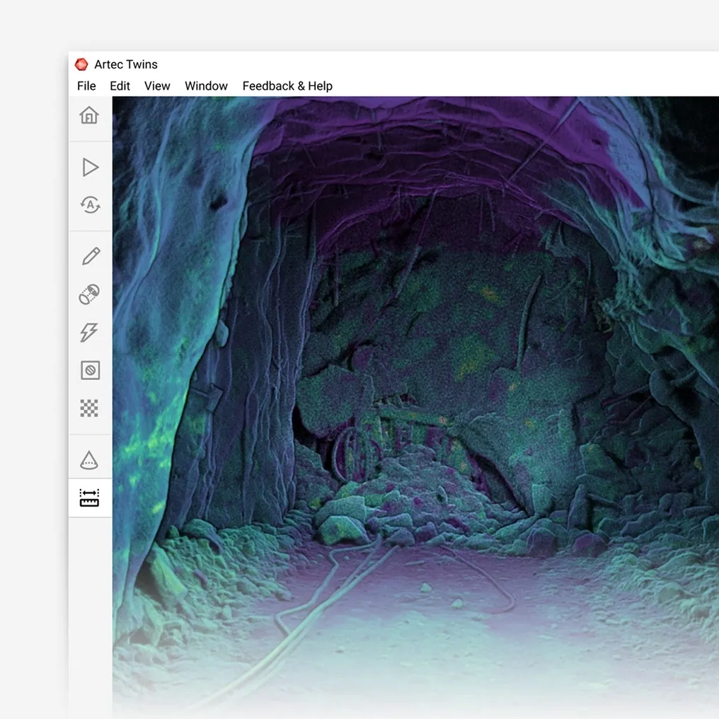
What is mobile LiDAR in mining?
A LiDAR scanner that records while it moves — carried, worn or driven — positioning by SLAM at ±0.03% drift, so headings and roads are surveyed at ±10–15 mm.
 Survey at walking paceA heading picked up floor to back in the time it takes to walk to the face.
 Or at driving speedA haul road, a decline or a pit floor recorded from the vehicle that already drives it.
 No set-upsSLAM positions the scanner from the geometry; there is no station, no levelling, no backsight.
 Every shift, not every quarterA survey cheap enough to repeat becomes a monitoring record.
Why the survey was a queue of set-ups
A static survey is limited by the number of positions the instrument can be set up in. Each set-up costs minutes, needs a stable platform and line of sight, and records what is visible from that one spot. A long drive, a winding decline or a pit with dozens of benches becomes a day of set-ups, and the survey interval is set by how often the crew can afford that day. The places between set-ups — around a bend, behind a shoulder, along a road nobody stopped on — are interpolated.
The cost is not only time. Where the instrument can be set is where the surveyor can safely stand, so the parts of the mine that most need surveying — the working face, the active bench, the dump crest — are the parts surveyed least. And a survey too expensive to repeat cannot show change: convergence, road wear and slope movement are all comparisons between two surveys that were never taken.
Mobile LiDAR removes the set-up. Artec Jet records up to 1.9 million points a second across 360° × 290° while it is carried, worn on a backpack or mounted to a vehicle, positioning itself by SLAM against the geometry around it at ±0.03% drift — ±10 mm underground, ±15 mm on surface — and tying to survey control wherever a station is passed. A heading is picked up in a walk, a haul road in a drive, a pit floor on the way to the face, and because the survey costs a journey rather than a day it is repeated often enough to show what has changed.
From a journey to a survey
Whatever moves through the mine can carry the scanner.
 1. Start on controlBegin at a known station, or with GNSS on surface, so the capture carries mine grid from the first metre.
- 2. Walk or driveHandheld, backpack or vehicle mount; Jet records everything in a 360° × 290° view at the pace of the journey.
- 3. SLAM holds position±0.03% drift from the geometry, re-tied at every station passed; loops close automatically.
 4. RegisterArtec Twins registers the trajectory to control and merges it with tripod or drone captures of the same area.
 5. ExportLAS, LAZ or E57 into the planning package; the journey is now the survey.
Which scanner for this work
One device is built to move; the tripod scanner joins it where survey-grade accuracy is wanted on a specific surface.
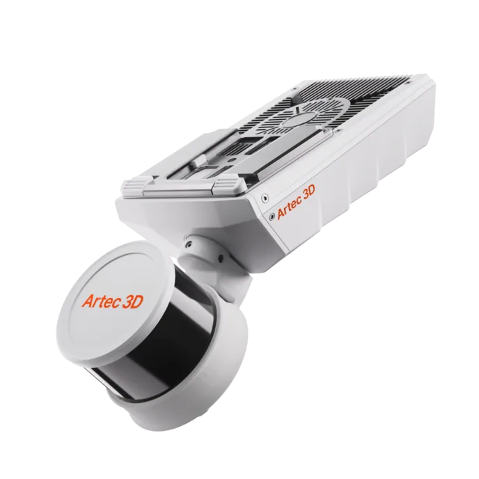
Artec Jet
- Best for
- Carried, worn or driven — the mobile survey itself
- Type
- Multi-modal SLAM LiDAR
- Accuracy, up to
- ±10 mm underground, ±15 mm general
- Change detection
- ±5 mm
- Range
- 0.5–300 m
- Positional drift
- ±0.03%
- Deployment
- Handheld, backpack, pole, drone, vehicle, cage, robot
Jet weighs 1.57 kg and mounts as a handheld, a backpack, a pole, a vehicle, a cage, a drone or a robot payload. Its SLAM positioning holds ±0.03% drift with no GPS, its 512 GB of onboard storage records about 16 hours, and its IP65 rating and −10 °C to +45 °C range cover a mine shift. Accuracy is ±10 mm underground and ±15 mm on surface, with ±5 mm change detection between visits.
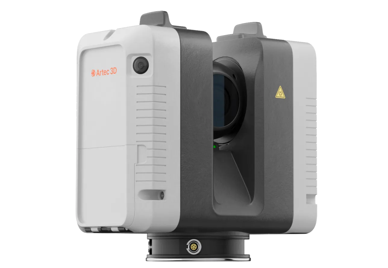
Artec Ray II
- Best for
- A specific wall, pile or structure at 1.9 mm at 10 m, registered into the mobile model
- Type
- Stationary long-range laser, tripod mounted
- Accuracy, up to
- 1.9 mm at 10 m, 2.9 mm at 20 m, 5.3 mm at 40 m
- Range noise
- 0.4 mm at 10 m
- Range
- 0.5–130 m
- Scan time
- 1 min 42 s at 3 mm, 10 m, without texture
- Field of view
- 360° × 300°
Where one surface carries a signed-off figure — a highwall, an invoiced stockpile — Ray II on a tripod records it at 1.9 mm at 10 m and registers into the Jet model in Twins. The mobile scanner covers the mine; the tripod scanner puts survey-grade where it is paid for.
See a decline surveyed from the vehicle on the way down and a heading picked up on the walk to the face, both on mine grid before the shift ends — book a demo for your survey crew.
Book a demoQuestions surveyors ask
How accurate is a moving scanner compared with a tripod?
Less, per point: ±10 mm underground and ±15 mm on surface for Jet, against 1.9 mm at 10 m for Ray II standing still. The mobile scanner’s accuracy is the accuracy of knowing where it was; the tripod scanner’s is the instrument’s. Most mines run both.
What does SLAM drift of ±0.03% mean in practice?
Over 1,000 m of walked drive without any control, the position error is of the order of 0.3 m; tie to a station every few hundred metres and it is far smaller. That is why the walk starts on control and passes stations along the way.
Can it be mounted on a vehicle we already run?
Yes. Jet is designed for vehicle mounting alongside its other deployments, so a light vehicle that drives the pit or the decline every shift records it every shift.
What about a backpack in a plant or a workshop?
The backpack mount is for exactly that: a walk through a plant or along a conveyor gallery records the as-built at ±15 mm without a single tripod set-up.
Related applications
Tell us where you would take a mobile scanner
Describe the areas you survey most and how the survey runs today. A mining specialist will come back with which deployment fits — handheld, backpack or vehicle — and what accuracy it would give on those areas.