
GPS-denied 3D mapping for underground mines
Every mapping method that works on surface assumes a signal from the sky. Underground there is none, so the methods that depend on it stop at the portal — and the mine is mapped with instruments that have to be set up at every position, or not mapped at all.
A scanner that positions itself from the rock has no such limit. It maps the drive it is walking, the stope it is flown into and the shaft it is lowered down, at ±10 mm, and the result is tied to mine grid by the control the mine already has.
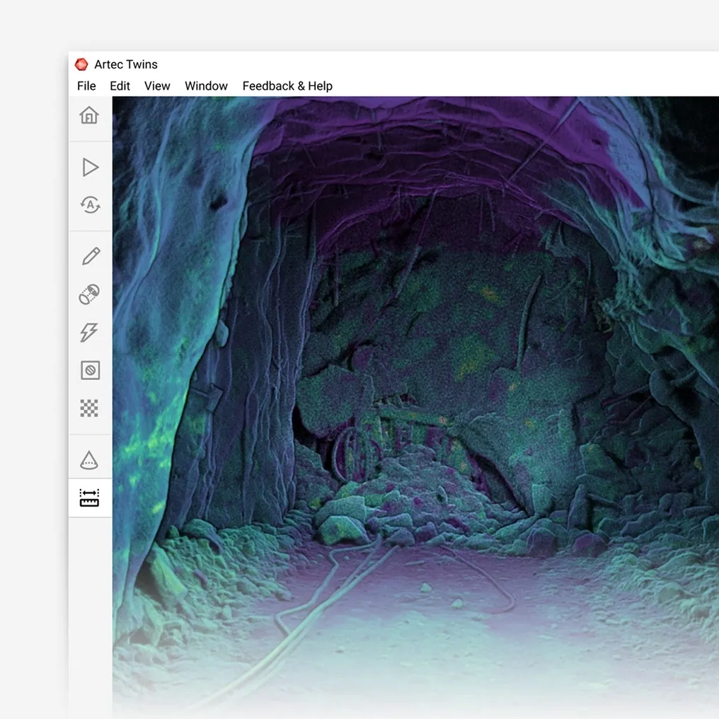
How do you map underground with no GPS?
With a scanner that positions itself from the geometry it records — SLAM at ±0.03% drift — so drives, stopes and shafts are mapped at ±10 mm on mine grid.
 No signal requiredPosition comes from the geometry around the scanner, not from above.
 Works where nothing else doesStopes, shafts, ore passes and old levels — the least mapped places on the mine.
 Still on mine gridSurvey control ties the map to the coordinate system the plan uses.
 A complete mapThe whole excavation, not the points a set-up could see.
Why the portal has been a wall for mapping
On surface, a survey instrument that moves can know where it is from GNSS, and a drone can fly a grid by it. Underground the signal stops at the portal, and so does every method that depends on it. What remains is the static instrument — set up, levelled, oriented off known points, moved, repeated — which is accurate and slow, and which cannot be set up in a stope, a shaft or an old level. The result is a mine mapped in detail along the drives a surveyor can stand in and by inference everywhere else.
The parts of the mine nobody can stand in are the parts whose geometry matters most: the stope being reconciled, the ore pass wearing through, the shaft being inspected, the old workings current development has to avoid. GPS-denied is not an edge case underground; it is the whole environment, and the mapping problem it creates is the mine’s largest.
A scanner that positions itself has no portal. Artec Jet builds its own map from the geometry it records and localises against it — SLAM — holding ±0.03% positional drift with no signal of any kind, and records at ±10 mm across 360° × 290° in complete darkness. It is carried down the drive, flown into the stope by a drone that also navigates by the scan, lowered down the shaft. Artec Twins ties the whole capture to the survey control the mine already has, and the GPS-denied map sits on mine grid like everything else.
From the portal inward
The same positioning works whether the scanner is walked, flown or lowered.
- 1. Tie at the portal or a stationThe capture starts on known coordinates — GNSS at the portal or a survey station underground.
- 2. Position from the rockSLAM tracks the scanner through the drive at ±0.03% drift; no signal is needed from here on.
 3. Go where the drive cannotFlown into the stope, lowered down the shaft or the pass, carried into the old level.
 4. Close loops, pass controlEach revisit and each station corrects the trajectory and resets drift.
 5. Deliver on mine gridTwins registers the capture to control and exports LAS, LAZ or E57 into the planning package.
Which scanner for this work
GPS-denied mapping is a positioning problem, and one device here is built to solve it.
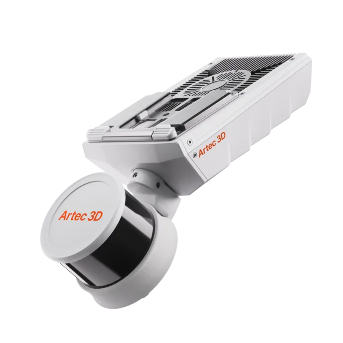
Artec Jet
- Best for
- Every underground excavation, mapped with no signal from surface
- Type
- Multi-modal SLAM LiDAR
- Accuracy, up to
- ±10 mm underground, ±15 mm general
- Change detection
- ±5 mm
- Range
- 0.5–300 m
- Positional drift
- ±0.03%
- Deployment
- Handheld, backpack, pole, drone, vehicle, cage, robot
Jet’s SLAM positioning holds ±0.03% drift from the geometry alone, which is what makes it a GPS-denied mapping scanner rather than a surface one that stops working at the portal. At ±10 mm underground, with its own light, a 360° × 290° field of view and mounts for a hand, a pole, a cage, a vehicle or a drone, it maps drives, stopes, shafts and old workings and ties them to mine grid through control.
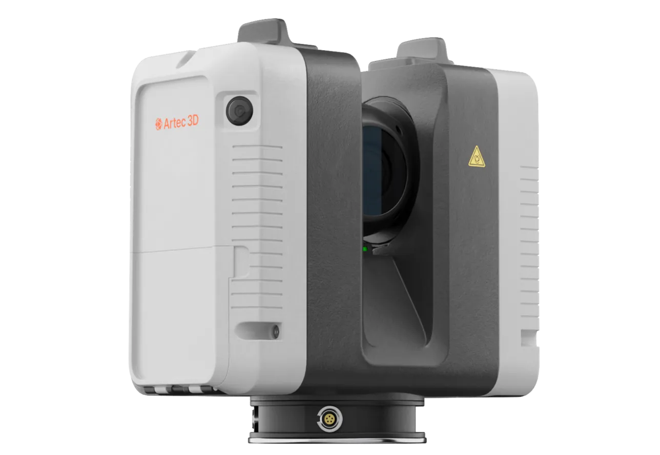
Artec Ray II
- Best for
- Portals, stations and reference excavations at survey-grade
- Type
- Stationary long-range laser, tripod mounted
- Accuracy, up to
- 1.9 mm at 10 m, 2.9 mm at 20 m, 5.3 mm at 40 m
- Range noise
- 0.4 mm at 10 m
- Range
- 0.5–130 m
- Scan time
- 1 min 42 s at 3 mm, 10 m, without texture
- Field of view
- 360° × 300°
Ray II on a tripod records the portal, the shaft stations and any reference excavation at 1.9 mm at 10 m, tied to survey control, and those captures are the fixed frame the GPS-denied Jet survey registers to. The SLAM scanner maps between them; the tripod scanner pins the map to mine grid.
See a stope, its access drive and the shaft that reaches them mapped without a single satellite signal, on mine grid — book a demo for your survey and technical services teams.
Book a demoQuestions surveyors ask
How does the scanner know where it is with no GPS?
By SLAM: it matches each new scan to the last on shared geometry, so the offset between them is the movement, and it accumulates those into a trajectory and a map at the same time. The rock is the reference.
How is the map put on mine grid?
Through survey control. The capture begins at a known point and ties to every station it passes; Artec Twins registers the whole trajectory to that control, so the GPS-denied map has the same coordinates as the plan.
What is the accuracy without any control at all?
Drift is ±0.03% of distance travelled — around 0.3 m over a kilometre with no control and no loop closure, which is the worst case. A stope flown from a controlled drawpoint, or a drive with stations, is far inside that.
Does the drone also need no GPS?
Right — the drone navigates by the scanner’s SLAM, plans its own path and avoids obstacles as fine as 2 mm wires, in complete darkness. It is the same positioning that maps the drive, applied to flying.
Related applications
Tell us about the ground you cannot map today
Describe the excavations, the control network and what is unmapped. A mining specialist will come back with how a GPS-denied survey would run and how it would tie to your grid.