
Underground production progress mapping
Production reporting underground rests on the shift log: metres advanced, buckets mucked, a stope called done. The reconciliation at month end compares those reports with a plan, and the difference gets argued rather than measured.
When every heading and stope is scanned as it is mined, progress is an as-built — metres, volumes and shapes against the plan — and the month-end reconciliation is a comparison of two models.
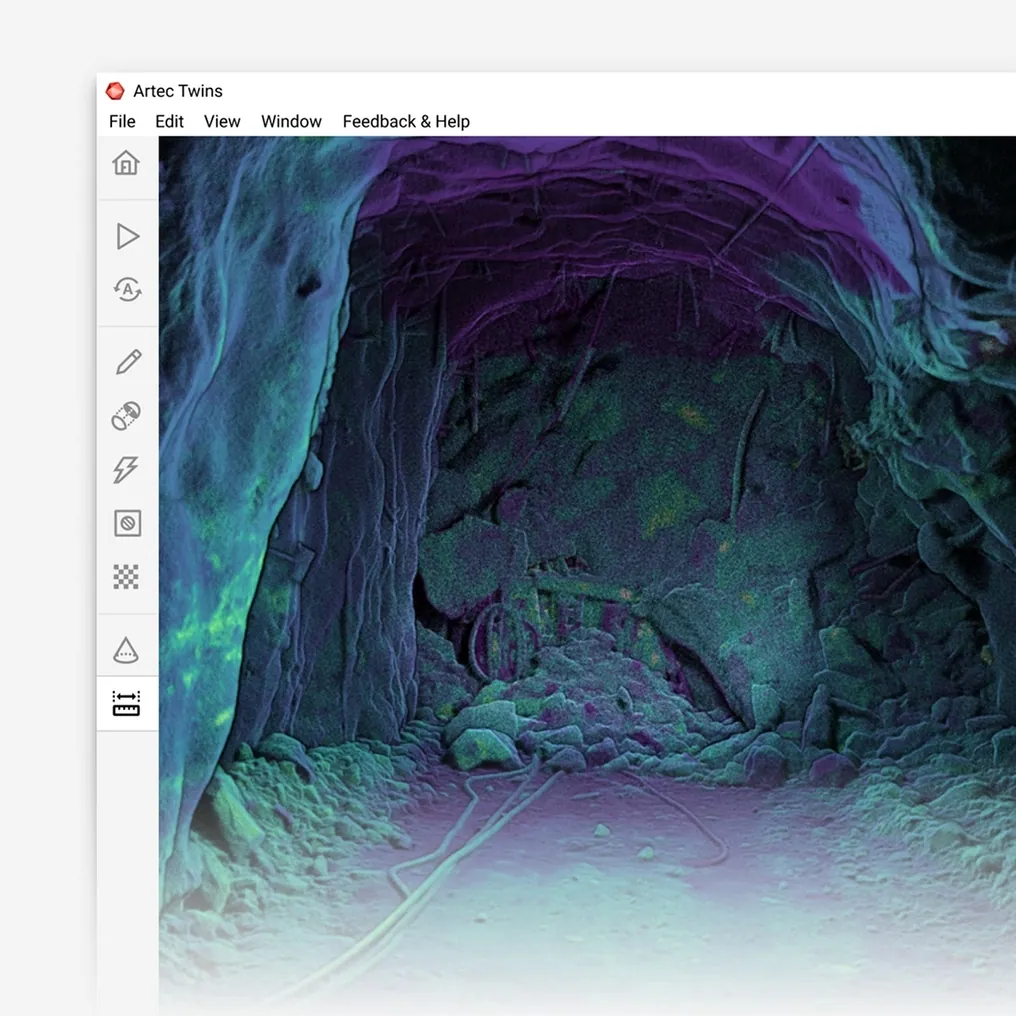
How is underground production progress measured with 3D scanning?
Every heading and stope is scanned as mined; advance, volume and shape are measured against plan from the as-built at ±10 mm, and the month reconciles models, not logs.
 Progress as an as-builtAdvance and excavation measured from the scan, not reported from the log.
 Volumes that add upDevelopment and stoping volumes summed by drive, level and period.
 Against the planWhat was mined against what was scheduled, in the same coordinate system.
 In the schedulerAs-builts into Deswik, Vulcan or Surpac, where the plan already lives.
Why the month-end reconciliation is an argument
Production is reported by the people doing it. Metres advanced come from the shift log, tonnes from bucket counts or the weightometer, stope status from whoever called it. Each is reasonable and each carries its own bias, and at month end the mine reconciles the sum of them against a plan built in a different system with different assumptions. The gap between planned and reported is real, but how much of it is mining performance and how much is reporting is never clear.
The survey record that could settle it is thin. A conventional pick-up gives a face position per round and a few profile shots — enough for advance, not for volumes or shapes. Stopes are estimated from outside. So the reconciliation falls back on reported figures, and the planning engineer re-forecasts from numbers that nobody can fully check.
A scanned as-built makes progress a measurement. Artec Jet picks up every heading as it is walked and every stope from its access, at ±10 mm; Artec Twins registers the captures into one model in mine grid. Advance is the face position, excavation is the volume between the last surface and this one, and progress against plan is the overlay of the as-built on the schedule’s solids — in Deswik, Vulcan or Surpac, where the plan already is.
From shift to reconciled month
The same captures that survey the headings and stopes feed the reconciliation.
- 1. Scan as minedEvery heading walked and every stope captured from its access, at ±10 mm, as part of the normal survey.
 2. Build the as-builtTwins registers captures into one current model of the mine in mine grid.
- 3. Measure progressAdvance per heading, excavated volume per period, stope shape against design.
- 4. Compare with the scheduleThe as-built solids against the planned solids, per drive, level and period.
- 5. ReconcileMeasured progress into Deswik, Vulcan or Surpac; the re-forecast starts from a model, not a log.
Which scanner for this work
Progress mapping is the sum of heading and stope surveys, so it uses the device that does both.
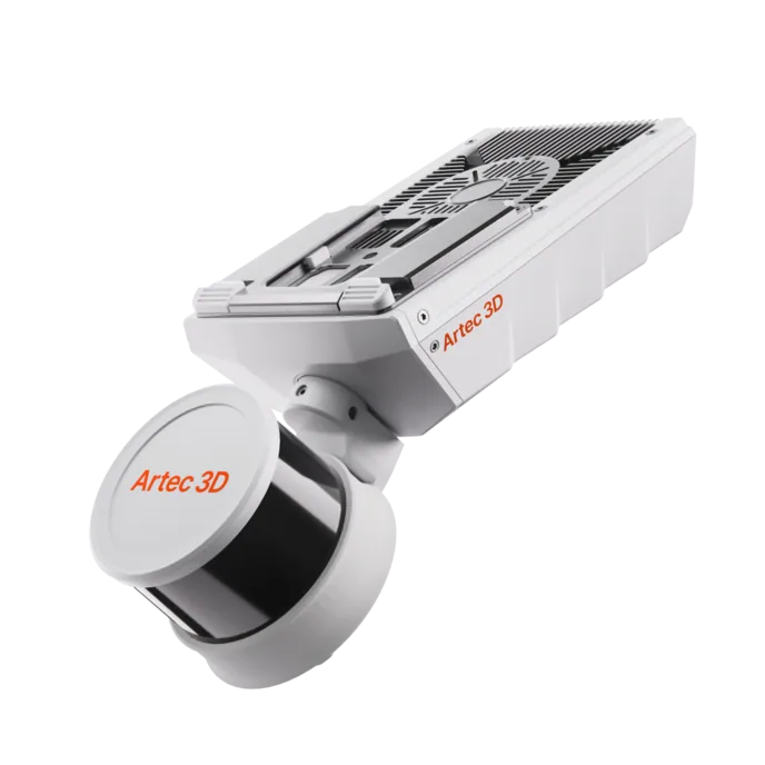
Artec Jet
- Best for
- Every heading and stope, as mined — the as-built the reconciliation runs on
- Type
- Multi-modal SLAM LiDAR
- Accuracy, up to
- ±10 mm underground, ±15 mm general
- Change detection
- ±5 mm
- Range
- 0.5–300 m
- Positional drift
- ±0.03%
- Deployment
- Handheld, backpack, pole, drone, vehicle, cage, robot
Jet records headings at walking pace and stopes from a pole, a cage or a drone, all at ±10 mm and with no GPS, so a whole level is captured in a shift. Sixteen hours of onboard storage and ±0.03% drift keep a long day of pick-ups true, and every capture registers into the same current model of the mine.
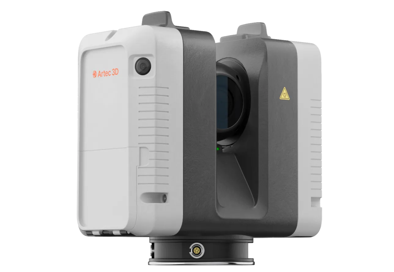
Artec Ray II
- Best for
- Large excavations and infrastructure in the same model, at survey-grade
- Type
- Stationary long-range laser, tripod mounted
- Accuracy, up to
- 1.9 mm at 10 m, 2.9 mm at 20 m, 5.3 mm at 40 m
- Range noise
- 0.4 mm at 10 m
- Range
- 0.5–130 m
- Scan time
- 1 min 42 s at 3 mm, 10 m, without texture
- Field of view
- 360° × 300°
Chambers, workshops, stations and the underground infrastructure that progress is reported against are recorded by Ray II on a tripod at 1.9 mm at 10 m and registered into the same Twins model as the walked and flown captures, so the as-built the reconciliation runs on is complete.
See a level’s month reconciled from measured as-builts instead of shift logs, in the scheduler you already run — book a demo for your planning engineer.
Book a demoQuestions planning engineers ask
Does this replace the shift report?
It gives the reconciliation a measured record to check the shift report against. Reported metres and measured metres are both useful; the difference between them is information the mine did not have before.
How are stoping volumes included?
Stopes are captured from their access on a pole, in a cage or on a drone, and closed as solids. The excavated volume per period is the difference between successive solids, at ±10 mm on the surface.
Does it work with our scheduler?
The as-built exports as LAS, LAZ, E57 and standard meshes, which Deswik, Maptek Vulcan, Micromine and GEOVIA Surpac read directly. The comparison with the schedule runs inside the package.
How much extra survey time does it take?
None beyond the heading and stope surveys themselves, which the scanner makes faster. The progress mapping is a report on captures the survey crew is already taking.
Related applications
Tell us how you reconcile production today
Describe the operation, the scheduler and where the month-end reconciliation loses time. A mining specialist will come back with what a measured as-built would change and how it lands in your package.